
There are photographs of natural disasters that seem impossible to explain at first glance. This is one of them: a highway that appears to have been cut in two, with enormous differences between one side and the other of the pavement.
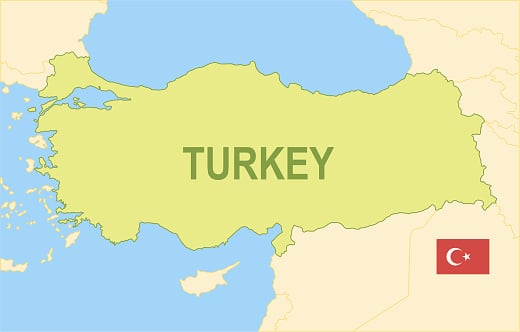
The image was taken near Tevekkeli, in Turkey’s Kahramanmaraş Province, after the magnitude 7,8 earthquake that struck the region on February 6, 2023. The photograph was captured by Reuters and was part of the many images that showed how the earthquake had physically altered the landscape.
What happened was not simply that the pavement cracked from the vibrations. The earthquake caused a rupture in the Earth’s surface and displaced large blocks of terrain. In fact, data cited by The National from the California Institute of Technology indicated that, in some places, the ground on either side of the ruptures moved in opposite directions by up to seven meters.
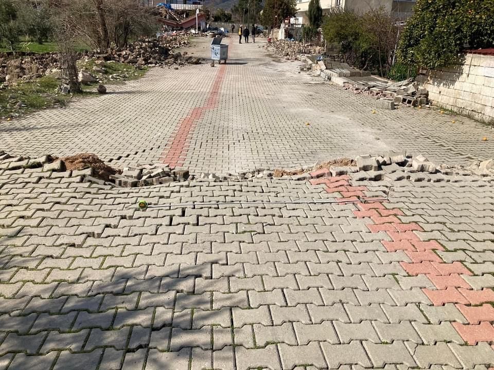
That is why the road ended up looking so strange: the infrastructure had been built on ground that, during the earthquake, literally stopped being in the same position it had been in just seconds earlier.
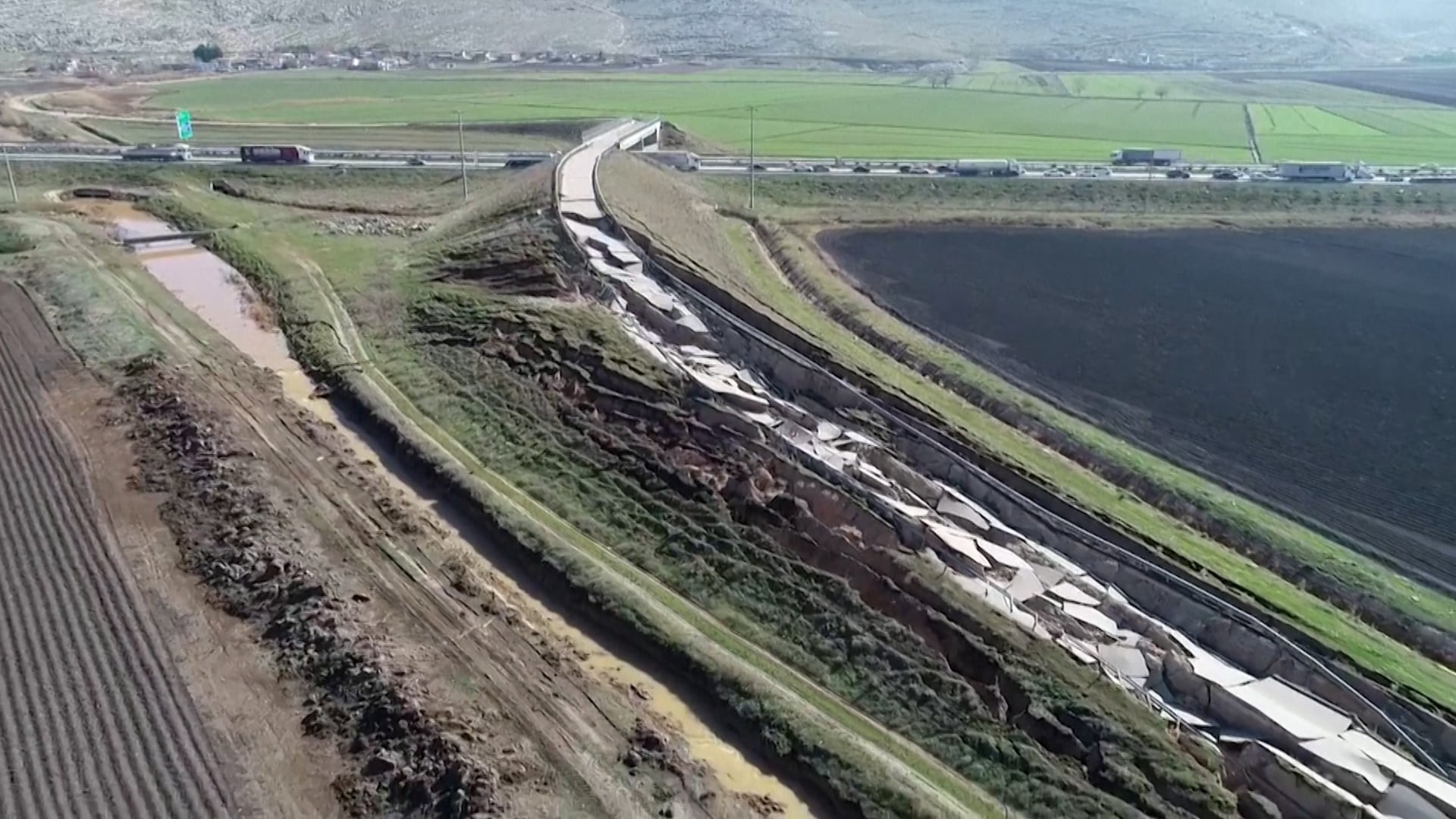
And it was not an isolated phenomenon. Enormous cracks, destroyed roads, deformed pavement, and areas where the ground had visibly shifted appeared in different parts of southern Turkey. Some images even showed kilometers of fissures cutting across fields and rural areas.
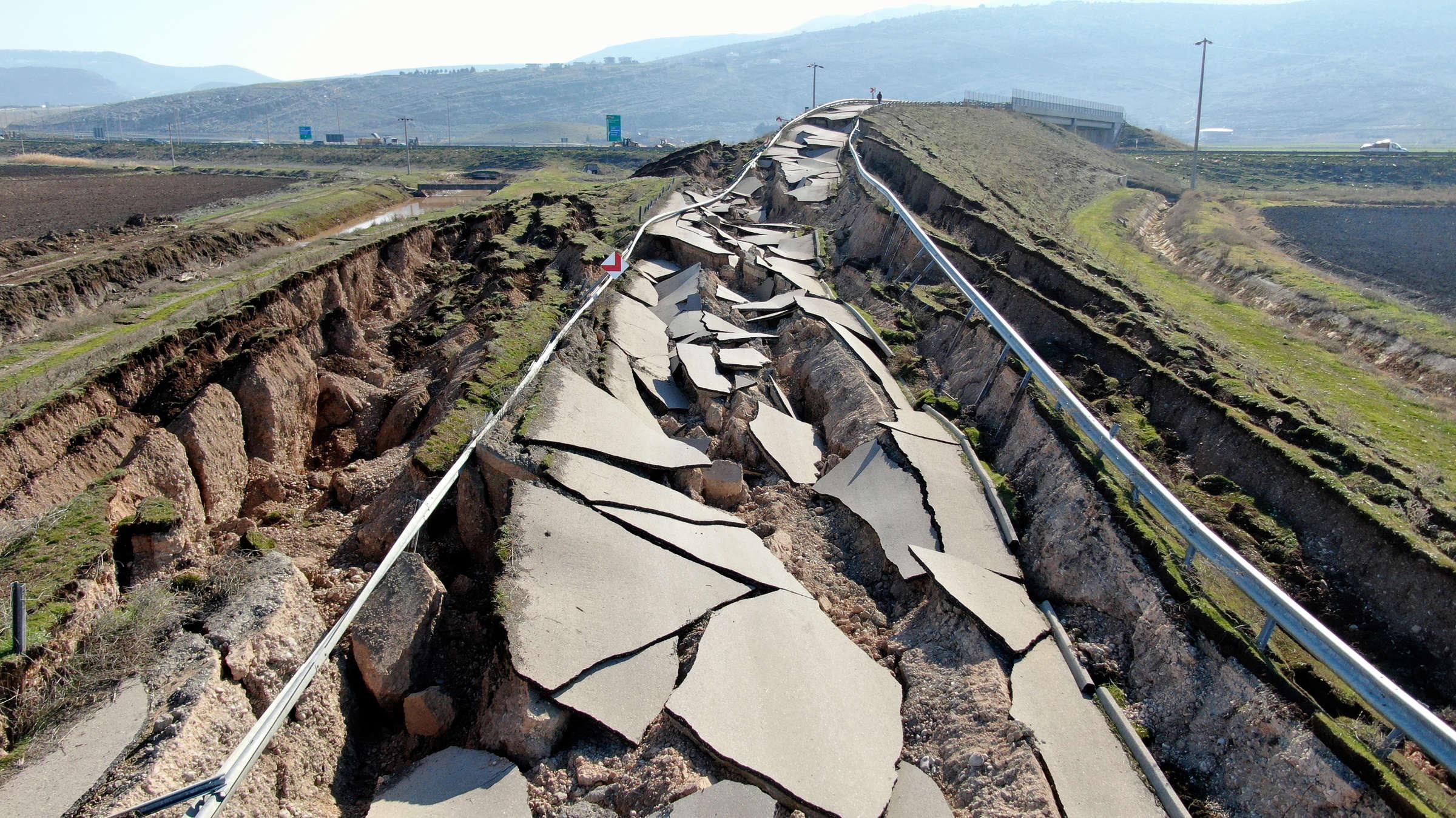
The February 2023 earthquake was one of the most devastating seismic disasters of recent decades. Turkey and Syria suffered tens of thousands of deaths, while entire cities were severely damaged. Two years later, Reuters reported that more than 55.000 people had died and that reconstruction of the affected areas was still ongoing.
That is why, more than a curious photograph of a broken road, this image ultimately became a particularly clear representation of what a major earthquake means: it can not only destroy what we build on the Earth; it can also move the very surface on which we build it.